Geodetic software is an indisputable intellectual assistant that technically simplifies and speeds up production processes at the preparatory, computing, leveling, and graphic work stages.
Modern land surveying is unthinkable without the use of computer technology and software. You can find an overview of such programs on appslikethese.
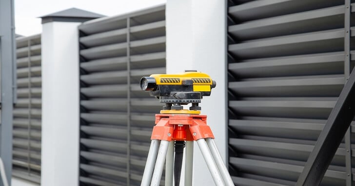
Electronic surveying equipment makes it possible to record all field measurements into storage devices and transfer them for processing to appropriate software products. And vice versa, all the prepared source data is downloaded from the computer into the electronic devices for the execution of demarcation works. This makes it possible to increase labor productivity, the accuracy of work performance, avoiding the influence of gross errors due to the human factor.
With the application of geodetic process automation, there is a need for applied programs with the help of which mathematical processing and calculations of geodetic field measurements are carried out. Such application programs are usually developed to solve certain types of tasks.
From time to time building programs consist of separate blocks (modules), independent from each other, and represent the whole program complexes. In recent years it is the software complexes with unified program modules that are popular among geodetic workers. They solve diversified tasks in the system of the general program complex and separately taken programs with a resolution in a certain format.
Types of surveying programs
The entire package of geodetic programs can be classified into two types:
- general use;
- specialized.
A characteristic example of a general-use program is considered Excel spreadsheets by Microsoft. These spreadsheets can be used to make geodetic calculations and calculations using mathematical formulas of some complexity and any amount of data.
Of course, the use of Excel spreadsheets has a semi-automated mode, as input data is entered manually. You can use Excel to perform the following types of computational work:
- forward geodetic problem (notching);
- reverse geodetic task (resection);
- processing of theodolite strokes;
- processing of leveling strokes;
- determination of the areas;
- determination of deviations from the design planes;
- determination of volumes;
- and many other applied tasks.
A semi-automatic process or an incorrectly entered algorithm can sometimes lead to some errors and incorrect conclusions. For reliable processing of geodetic measurements calculations, a fully automatic process and a correctly developed software algorithm are needed respectively.
Specialized Land Surveying Software
They are used in a wide range of tasks of geodetic production. Their varieties are both standard and customized programs.
AutoCAD software products
Considered to be the most popular and sought after in the surveying environment. Universal platforms for providing automation of design, construction, drawing. Due to their technical capabilities, high accuracy of constructions, and interaction with other applied products, Autodesk programs have become widely used in the surveying industry. Such programs include:
- Autocad, the standard program used by the vast majority of surveyors;
- Autocad Civil 3D;
- Autocad Mar 3D.
All AutoCAD software has a user-friendly interface and numerous features. With its help one can:
- connection with Excel tables;
- use of dynamic blocks;
- organization of work with the application of layers;
- dynamic tooltips and menu of quick properties;
- file sharing and storage;
- reformatting and exporting to a PDF file;
- importing and publishing DWF files;
- visualizing and printing 3D models;
- customization;
- recording user sequences;
- customizing and using the interface tape;
- integrating other specialized applications (GeoniCS) based on Autocad;
- surface modeling;
- support with point clouds;
- and many other functions.
As part of the Autocad Civil 3D software module, there is a purely geodetic block Shooting and other features. With their help, it is possible to carry out land management works, geospatial analysis, geodetic works on construction sites and highways, counting earth masses.
Autocad Map 3D module allows creating all kinds of maps, 3D models, based on the topographic survey data in the Autocad system, spatial geoinformation and exchange them.
In conclusion
Work in geodesy is connected with a large volume of calculations, and it is very difficult to do without automated processing of these measurements nowadays. But land surveying software for data exchange with most instruments, for editing and saving the results of work allows simplifying the work of specialists.

