Hiking and trekking are very popular sports and pastimes. Among the equipment necessary for hiking, the smartphone has taken on considerable importance, thanks to numerous hiking apps.
Among the most appreciated features of these software, there is advice on the best routes, maps specially designed for hikers and the possibility of connecting via GPS so you can always monitor your position. Here are the 5 best hiking apps in 2019.
Important note: You shouldn’t rely entirely on the hiking app on your smartphone, which dramatically shortens battery life when it runs in the background. And some apps can’t provide offline maps, so in some cases, they won’t work without an internet connection. Instead, carrying a hiking tracker such as GoFindMe, a compass or a map when hiking in unfamiliar terrain is a good idea.
1. OruxMaps
This app is available for Android and is based on a series of constantly updated maps. The software allows you to store and program routes with a large number of options. This is also one of the limitations of the app, which can be, at least initially, a bit cumbersome to use. However, this depends mainly on a large number of features available. The maps can be downloaded to be consulted offline, but in online mode, it is impossible to follow the route in real-time. The app shows the number of kilometers and uneven ground, average speed and much more. Each user can publish their recommended routes and post photos of panoramas and points of interest that are found along the way. The app already contains many saved maps, but you can download many more or view them online. A very useful service is to geolocate a point by publishing a simple photo taken directly with the smartphone. The app is available for free.
2. ViewRanger – Hiking Trails & Bike Rides
This app is available for both Android and Apple devices. Among the strengths of the application, there is the possibility to view and download many maps and share their routes with other users. ViewRanger includes both trails for hikers and cycle paths. The program allows you to program your own routes and is specially designed for spin bike. In addition to the functions for tracking movements, the software makes it possible to share photos, videos and maps to share them with other users. ViewRanger automatically synchronizes with Instagram and Flickr accounts to share their experiences and places visited in real-time. The app is specifically designed to have a very low impact on battery consumption so that it can be used continuously even in the case of particularly long excursions. The maps available for free offer good quality, but if you want more details you need to download the paid version.
3. LocusMap
LocusMap is very similar to OruxMaps, of which it represents a valid alternative. Also, in this case a little practice is needed to discover all the options that the software makes available to trekkers and hikers. LocusMap is available for both Android and PRO versions, at a cost of 7.50 euros. The free version, however, already contains all the most useful and common functions and options, such as the ability to save maps to consult them offline. In this version, however, there are several advertisements could annoy you during excursions or route planning. However, these advertisements are not too invasive.
4. AlpineQuest GPS Excursions
AlpineQuest is designed not only for trekking but also for outdoor sports such as hunting, sailing and cycling. The maps available are many and allow you to program and save routes by calculating a large number of variables, including altitude, travel time and more. The route data is stored in real-time during the excursion and, once back at home or at the shelter, it is possible to create statistics and graphs with the collected data. The app is available in both Lite and Premium. The first has the obvious advantage of being free, but the second includes many options and features otherwise unavailable.
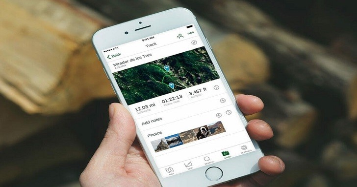
5. GPS Kit
This app is one of the best available for Apple iOS systems. GPS Kit allows you to view a large number of maps on which to follow the paths traveled in real-time and plan your future movements. One of the strengths of the app is the ability to save only portions of the map that can be viewed offline. In this way, the saved maps consume only the required amount of memory. As can easily be seen from the name itself, GPS Kit allows you to follow your progress directly on the map thanks to GPS positioning, in addition to saving all the route data in real-time, saving tracks and inserting waypoints and waypoints with photos and images taken at the moment. The strength of the application is however the huge database of available maps and routes. The app is available at an average cost higher than the competitors since it is possible to download it from the Apple Store for 9.99 euros.